Maps of British Columbia
Browse through our selection of 30 + Maps of British Columbia to assist you in planning your vacation and outdoor adventures in British Columbia. Extensive ferry route maps will guide you to the islands, and the golf course maps will help you prioritize your holiday!
You will never forget this incredible vacation at one of the most beautifull places of planet Earth!
British Columbia (BC), Canada, is divided into several distinct regions, each with its own unique geographical, cultural, and economic characteristics. These regions contribute to the diverse fabric that makes BC a vibrant and dynamic province.
Lower Mainland: The most populous region, it includes Vancouver and the surrounding areas. This region is the economic powerhouse of the province, known for its diverse population, bustling cities, and as a hub for trade and technology.
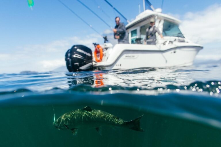
Vancouver Island: Known for its stunning natural beauty, including dense forests and rugged coastlines, Vancouver Island is a top destination for tourists and a major center for fishing and forestry industries. The capital city, Victoria, offers a mix of colonial charm and modern urban development.
Okanagan Valley: Famed for its wineries and fruit orchards, the Okanagan Valley is a significant agricultural hub. It’s also a popular recreational destination with lakes and summer resorts, attracting both tourists and retirees.
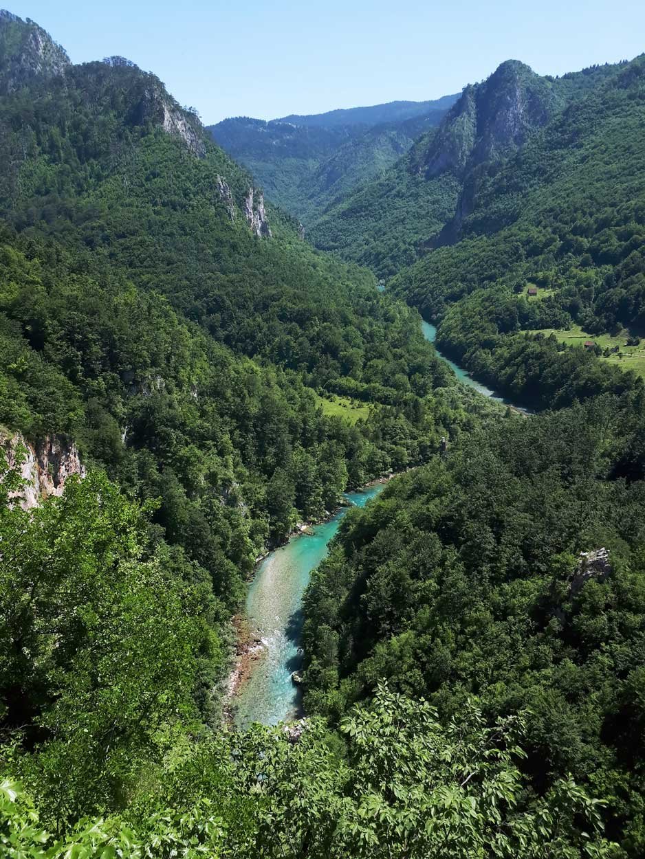
Kootenay: This region is known for its mountainous landscapes and outdoor recreational activities. The economy is primarily based on mining, forestry, and tourism.
Cariboo: An area rich in history, particularly with the gold rush era, it remains mostly rural but is a center for forestry and has a growing tourism sector.
Northern British Columbia: Covers over half of the province but is sparsely populated. This region is rich in natural resources, making it crucial for industries such as mining, forestry, and natural gas extraction.
Each region of BC offers distinct experiences and opportunities, contributing to the province’s reputation as a place of incredible variety and natural beauty.
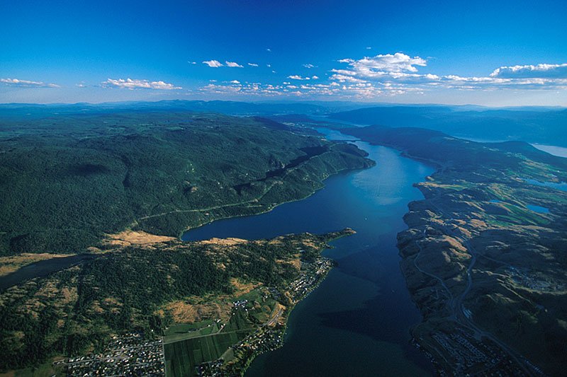
Kalamalka Lake, south of Vernon in the Okanagan Valley, British Columbia.
Maps of British Columbia
Maps of Regions in British Columbia
- Vancouver Island
- Vancouver Coast & Mountains
- Thompson Okanagan
- Kootenay Rockies
- Cariboo, Chilcotin, Coast
- Northern British Columbia
Maps of Sub Regions in British Columbia
- Vancouver Island Regions
- North Vancouver Island
- Central Vancouver Island
- South Vancouver Island
- Pacific Rim (West Coast Vancouver Island)
- Greater Victoria
- BC Islands (Southern Gulf Islands)
- Sunshine Coast
- Haida Gwaii (Queen Charlotte Islands)
Maps of Towns in British Columbia and Alberta
- Vancouver Island: Campbell River
- Vancouver Island: Courtenay/Comox
- Vancouver Island: Nanaimo
- Vancouver Island: Parksville/Qualicum Beach
- Vancouver Island: Sidney
- Vancouver Island: Sooke
- Vancouver Island: Victoria
- Vancouver Island: Victoria Downtown
- Vancouver Coast & Mountains: Powell River
- Vancouver Coast & Mountains: Vancouver
- Vancouver Coast & Mountains: Vancouver Downtown
- Vancouver Coast & Mtns: Vancouver to Whistler
- Vancouver Coast & Mountains: Whistler
- Thompson Okanagan: Kamloops
- Thompson Okanagan: Kelowna
- Thompson Okanagan: Kelowna/Osoyoos
- Thompson Okanagan: Kelowna/Shuswap
- Cariboo: Williams Lake
- Northern British Columbia: Prince George
- Northern British Columbia: Prince Rupert
- Alberta: Banff/Jasper/Lake Louise
Maps of Ferry Routes in British Columbia
- BC Coastal Ferry Routes
- North Central Ferry Routes
- Pacific NW Ferry Routes
- Gulf Islands Ferry Routes
Maps of Wineries and Wine Routes in BC
Maps of Circle Tours in British Columbia
- Sunshine Coast and Vancouver Island Circle Tour
- Discovery Coast Circle Tour
- Inside Passage Circle Tour
- Native Heritage Circle Tour
- Northern British Columbia Circle Tour
- Coast Mountains Circle Tour
- Okanagan and Kootenay Rockies Circle Tour
- Fraser Valley Circle Tour
Maps of Golf Courses
Provincial Topographical Base Maps for Mobiles – Free
GeoBC has created a series of free, high-resolution topographical maps, at a scale of 1:20,000, specifically designed for viewing on mobile devices, allowing users to zoom into small areas of the new maps without compromising detail. Over 7,000 free maps covering the entire province of British Columbia are now available as downloadable PDF files through GeoBC’s Base Map Online Store or through its popular KML viewer. Click on Topographic Maps on the GeoBC Homepage. If you would like to find more resources about British Columbia visit https://www2.gov.bc.ca/gov/content/home