Discover 30+ Attractions in British Columbia!
Find 30+ Attractions in British Columbia you will love!
From a rich heritage of native culture preserved for eternity in museums, to the contemporary bustle of festivals and local events, British Columbia offers a year-round pageant of history, arts and lively entertainment. Plan your holiday celebrations with our extensive content of British Columbia’s attractions, affording you the opportunity to sample the sights, sounds, and traditions of many lands. British Columbia…where nature is cherished and history comes alive!
- Attractions in Victoria and Vancouver Island
- Attractions in Vancouver, Coast & Mountains
- Attractions in Whistler, British Columbia
- Attractions in the Thompson Okanagan
- Attractions in the Kootenay Rockies
- Attractions in the Cariboo, Chilcotin, Coast
- Attractions in Northern BC & Haida Gwaii
Things to Do and See
Historic and Heritage Sites
- Chinatown Victoria
- Barkerville
- Chilkoot Trail
- Cottonwood House
- Craigdarroch Castle
- Craigellachie Last Spike
- Craigflower Manor
- Emily Carr House
- Fisgard Lighthouse
- Fort Langley
- Fort Rodd Hill
- Fort St. James
- Fort Steele
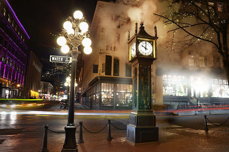
- Gastown, Vancouver
- Gulf of Georgia Cannery
- Haig-Brown House
- Hat Creek Ranch
- Hatley Park
- Helmcken House
- Yale
- Kilby Store & Farm
- Kitwanga Fort
- O’Keefe Ranch
- Point Ellice House
- Quw’utsun’ Cultural Centre
- The Grist Mill
Popular Places to visit in Vancouver, British Columbia
- Capilano Suspension Bridge
- Dr. Sun Yat-Sen Garden
- Gastown Vancouver
- Granville Island Market
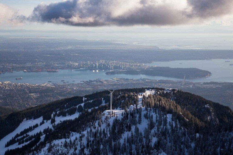
- Grouse Mountain
- Museum of Anthropology
Popular places to visit on Vancouver Island, BC

- Butchart Gardens
- Carmanah Walbran Park
- Cathedral Grove
- Government House
- Hatley Park (Hatley Castle)
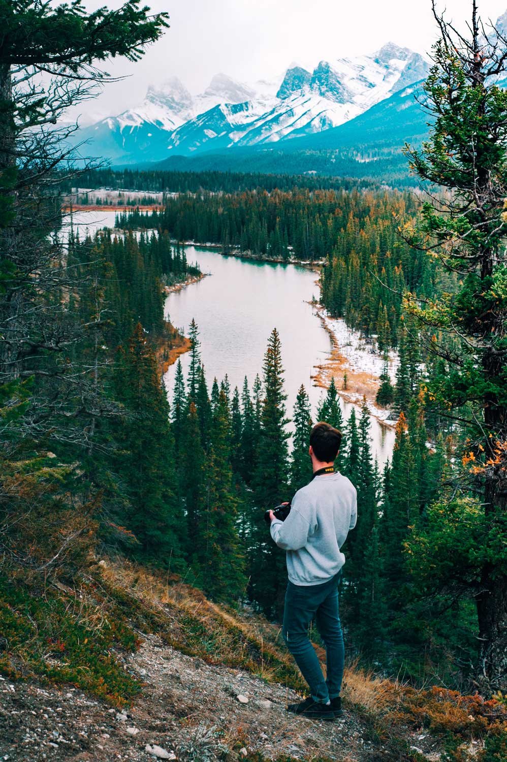
- Pacific Rim
Other Popular places to visit in British Columbia
- Discovery Coast
- Discovery Islands
- Fairmont Hot Springs
- Harrison Hot Springs
- Kelowna
- E.C. Manning Provincial Park
- Mount Assiniboine Provincial Park
- Mount Robson Provincial Park
- Haida Gwaii
- Wells Gray Provincial Park
- Whistler
- Yoho National Park
If you would like to learn more about all of the great activities you can find at hand in your trip to British Columbia, make sure you visit;
https://www.hellobc.com/things-to-do/attractions-activities