Beautiful Wildlife Viewing in British Columbia
British Columbia is one of the richest wildlife viewing areas in Canada, with diverse and extraordinary creatures ranging from Aise Swallowtails, and Green Herons, to Trumpeter Swans.
BC is a birder’s haven. More than a million birds migrate on the Pacific flyway, and thousands stop over or stay through the year.
Twice every year, virtually the entire global population of Pacific Gray Whales migrates along the British Columbia Coast. All five Pacific salmon species migrate far into the province’s interior.
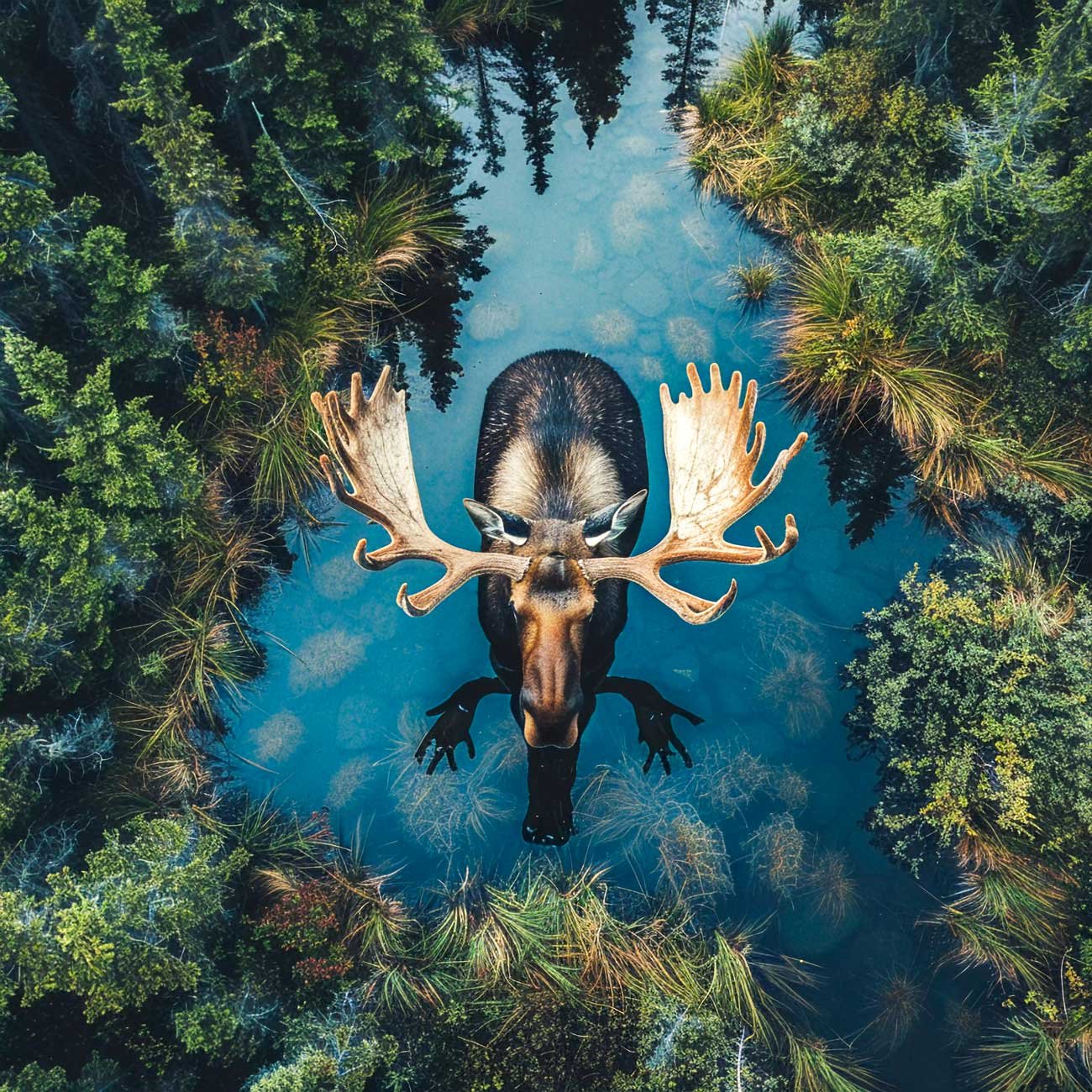
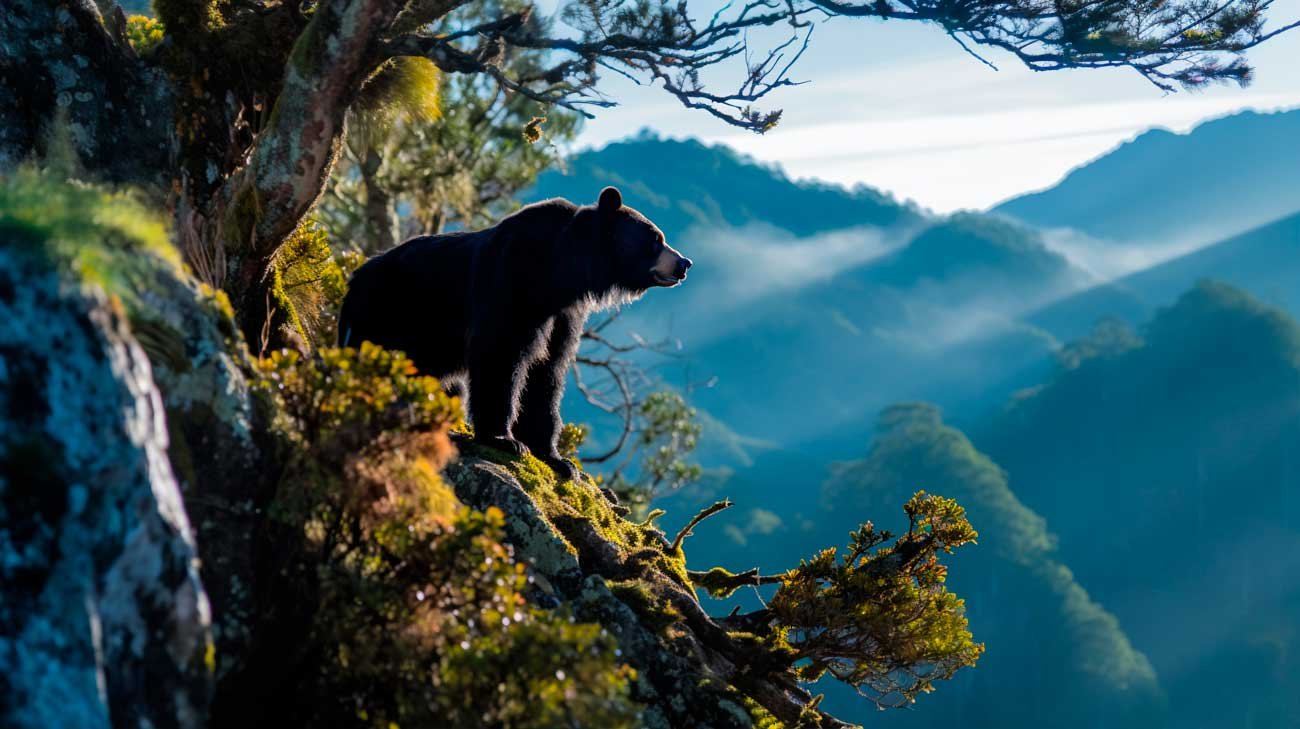
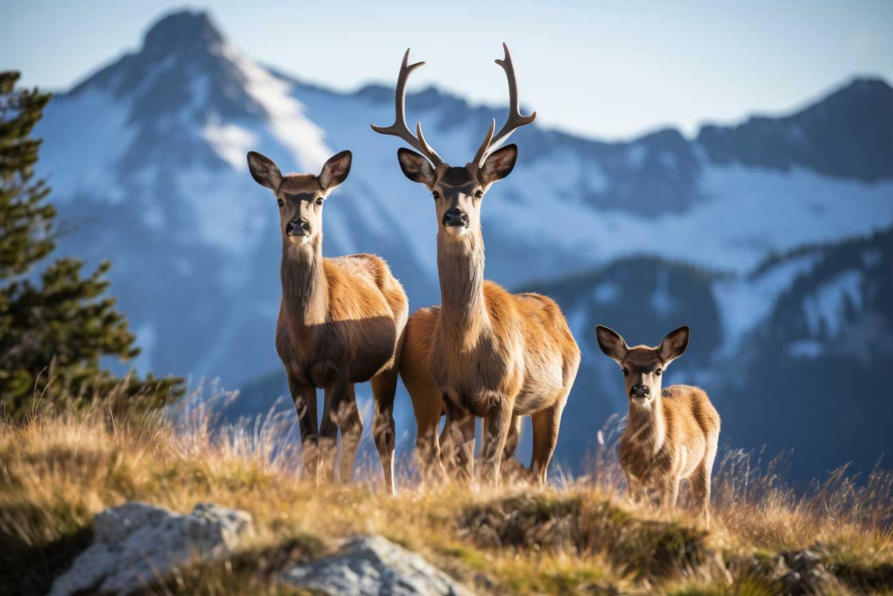
The Fraser River, with its many tributaries, boasts the largest salmon run in the world. Mountain Goats, Moose, Caribou, and Bighorn Sheep can be seen browsing by the highway’s edge. Cougar, Black Bear, Grizzly Bear and the Kermode Bear grab even more attention.
Wildlife viewing in British Columbia is an exceptional experience that draws nature enthusiasts from around the world. With its vast and varied landscapes, BC offers habitats for an impressive array of wildlife, from coastal marine life to alpine creatures. Wildlife viewing in British Columbia provides a chance to observe animals in their natural settings, whether you’re watching bears fish for salmon along the rivers of the Great Bear Rainforest or spotting elusive lynx in the snowy mountain ranges.
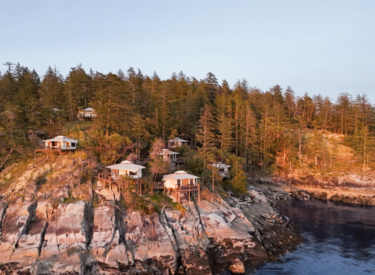
The diverse ecosystems of BC allow for year-round wildlife viewing opportunities. The province’s numerous provincial parks and wildlife reserves are excellent starting points for wildlife viewing in British Columbia. Here, guided tours can enhance your experience, offering expert insights into animal behaviors and the ecological roles they play. Additionally, wildlife viewing in British Columbia often includes sightings of bald eagles, especially in the Squamish and Harrison River areas, which are known for having some of the largest seasonal gatherings of these majestic birds.
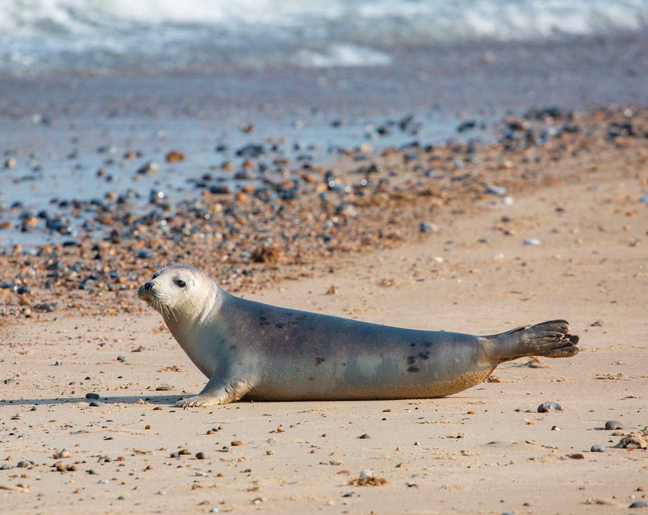
For marine enthusiasts, the coastal waters offer world-renowned wildlife viewing in British Columbia. The waters around Vancouver Island are particularly famous for whale watching, where orcas, humpbacks, and gray whales are commonly sighted. The experience of watching these magnificent marine mammals in their natural habitat is unparalleled and underscores the richness of British Columbia’s natural environment.
Moreover, wildlife viewing in British Columbia also brings opportunities to engage with conservation efforts. Many tour operators contribute to local conservation projects, providing visitors with a sustainable way to enjoy and help preserve BC’s natural heritage. Whether it’s participating in citizen science projects or supporting wildlife rehabilitation programs, visitors can play an active role in the stewardship of the region’s biodiversity.
In summary, wildlife viewing in British Columbia offers not only the thrill of encountering wild animals but also a deeper appreciation of the natural world and the importance of preserving it. With its protected parks, diverse species, and dedicated conservation initiatives, BC stands out as a premier destination for wildlife enthusiasts.
Wildlife Viewing Tours in British Columbia
Wildlife Viewing Tour Operators in BC
- Vancouver Island & BC Islands
- Vancouver, Coast and Mountains
- Operators: Thompson Okanagan
- Operators: Kootenay Rockies
- Operators: Cariboo, Chilcotin, Coast
- Operators: Northern BC and Haida Gwaii
- Operators in British Columbia
Wildlife Viewing Information for British Columbia
- Vancouver Island & BC Islands
- Vancouver, Coast & Mountains
- Thompson Okangan
- Kootenay Rockies
- Cariboo, Chilcotin, Coast
- Northern BC & Haida Gwaii
Marine Mammals
Natural Events
- Brant Geese Migration
- Gray Whale Migration
- Pacific Salmon Spawning
- Pacific Herring Spawning
- Turkey Vulture Migration
- The Changing Tides
So, there’s a lot to discover in these beautiful territories, if you have an adventurer spirit this is for you! Don’s miss this amazing and unforgettable experience!
And If you want to explore more!